Vector maps of Europe
Countries
Regions
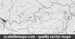
Austria
A black & white, no labels map of Austria
Minimalistic black and white theme showing transport network (in multiple layers) without any text labels
Map scale: 1 : 250,000
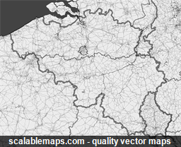
Belgium
A black & white, no labels map of Belgium
Minimalistic black and white theme showing transport network (in multiple layers) without any text labels
Map scale: 1 : 250,000
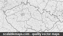
Czech Republic
A black & white, no labels map of Czech Republic
Minimalistic black and white theme showing transport network (in multiple layers) without any text labels
Map scale: 1 : 250,000
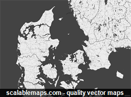
Denmark
A black & white, no labels map of Denmark
Minimalistic black and white theme showing transport network (in multiple layers) without any text labels
Map scale: 1 : 250,000
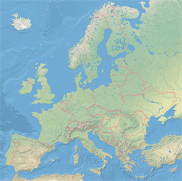
Europe
Continent-wide theme showing the physical map with shaded relief raster, roads, railroads, ferry routes, country borders and major populated places
Map scale: 1 : 7,500,000
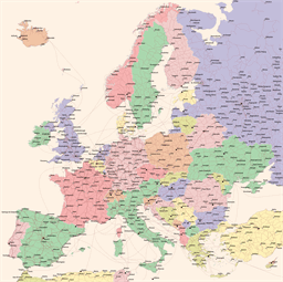
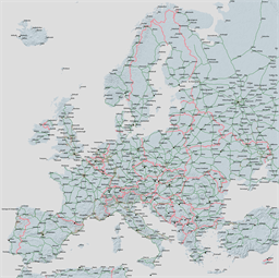
Europe
Continent-wide theme showing the important cities and road network
Map scale: 1 : 7,500,000
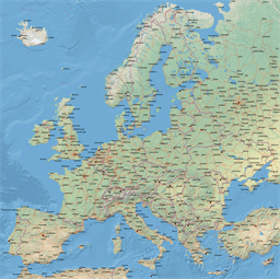
Europe
Continent-wide theme showing the physical map with shaded relief raster, roads, railroads, ferry routes, country borders and major populated places
Map scale: 1 : 7,500,000
Europe
Continent-wide theme showing the physical map with shaded relief raster, country borders, major populated places and roads
Map scale: 1 : 7,500,000
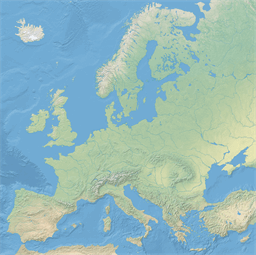
Europe
Continent-wide theme showing the physical map with shaded relief
Map scale: 1 : 7,500,000
Europe
Continent-wide theme showing the physical map with shaded relief raster and country borders
Map scale: 1 : 7,500,000