Vector maps of Burkina Faso
Africa
Continent-wide theme showing the physical map with shaded relief raster, country borders, major populated places and roads
Map scale: 1 : 18,000,000
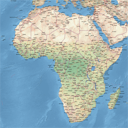
Africa
Continent-wide theme showing the physical map with shaded relief raster, roads, railroads, ferry routes, country borders and major populated places
Map scale: 1 : 18,000,000
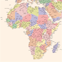
Africa
Continent-wide theme showing the important cities and road network
Map scale: 1 : 18,000,000
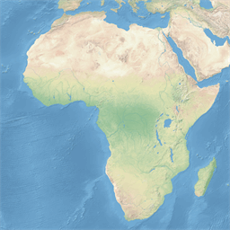
Africa
Continent-wide theme showing the physical map with shaded relief
Map scale: 1 : 18,000,000

Africa
Continent-wide theme showing the physical map with shaded relief raster and country borders
Map scale: 1 : 18,000,000
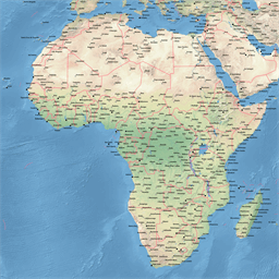
Africa
Continent-wide theme showing the physical map with shaded relief raster, country borders and major populated places
Map scale: 1 : 18,000,000
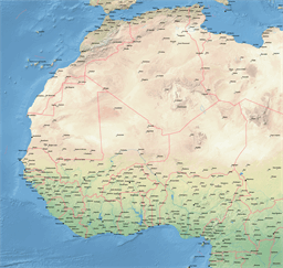
Western Africa
Continent-wide theme showing the physical map with shaded relief raster, country borders and major populated places
Map scale: 1 : 8,000,000
Western Africa
Continent-wide theme showing the physical map with shaded relief raster, roads, railroads, ferry routes, country borders and major populated places
Map scale: 1 : 8,000,000
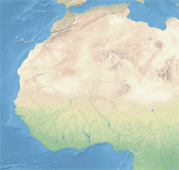
Western Africa
Continent-wide theme showing the physical map with shaded relief
Map scale: 1 : 8,000,000
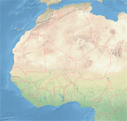
Western Africa
Continent-wide theme showing the physical map with shaded relief raster and country borders
Map scale: 1 : 8,000,000